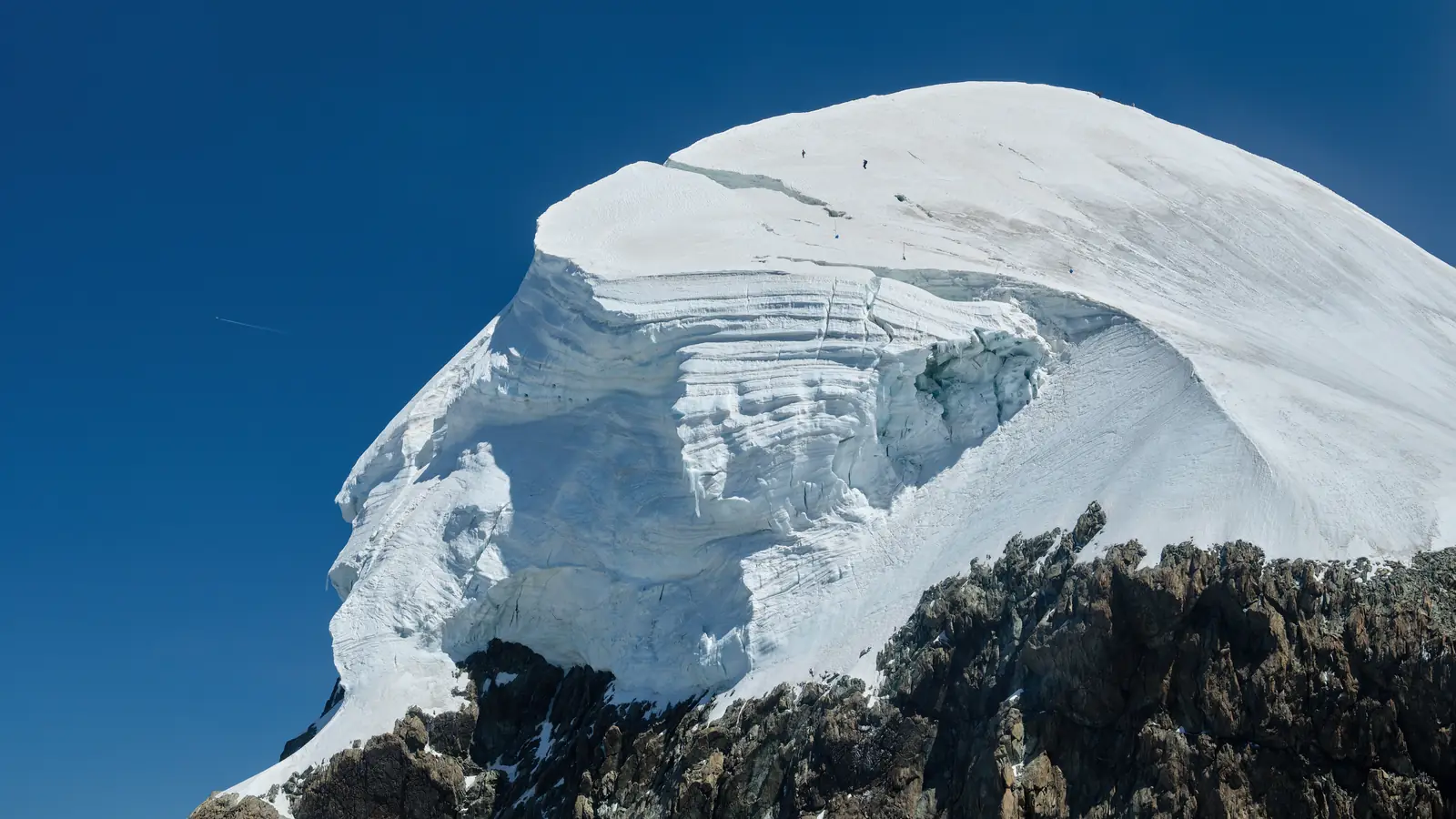
Breithorn, 4,164 m
Sheet 03 of 11Stage 2027
- Range:
- Pennine Alps
- Coordinates:
- 45.9411° N, 7.7472° E
Matterhorn Glacier ParadiseLift, 3,883 mZermattVillage, 1,608 mBreithorn4164
012km
The summit ice cap from the air, July 2022. Rope teams are on the crest. The dotted line is the normal route, schematic; huts and lifts are placed by hand.
The climb, to scale
-
Breithorn
-
Matterhorn Glacier Paradise
-
Zermatt
How hard
- The route’s grade
- Easy glacier
- For me
- Glacier intro
- Mountain days
- 1
- Biggest day
- +350 m
- 2–3 h up, 1–2 h down
- Season
- Jul–Sep
- Endurance
- Altitude
- Technical
- Exposure
After the skills course. A quarter of Olympus day 1 in ascent, but at 4,000 m on a glacier. Needs the course and a guide, not more training. Easier after Olympus.
- Alpine boots
- Crampons
- Ice axe
- Harness & rope
Why it is in the plan
From the roadmap: 2027, alpine foundation.
- First 4,000 m alpine summit.
- First proper glacier experience.
- Practice crampons, rope movement and altitude exposure.
- Prepare for Mont Blanc.
What it adds
- Technical ability
- Altitude experience
- Expedition experience
- Endurance
- Mountain judgment
- Risk management
Map data © OpenStreetMap contributors, SRTM. Contours © OpenTopoMap, CC BY-SA. Aerial © Esri.