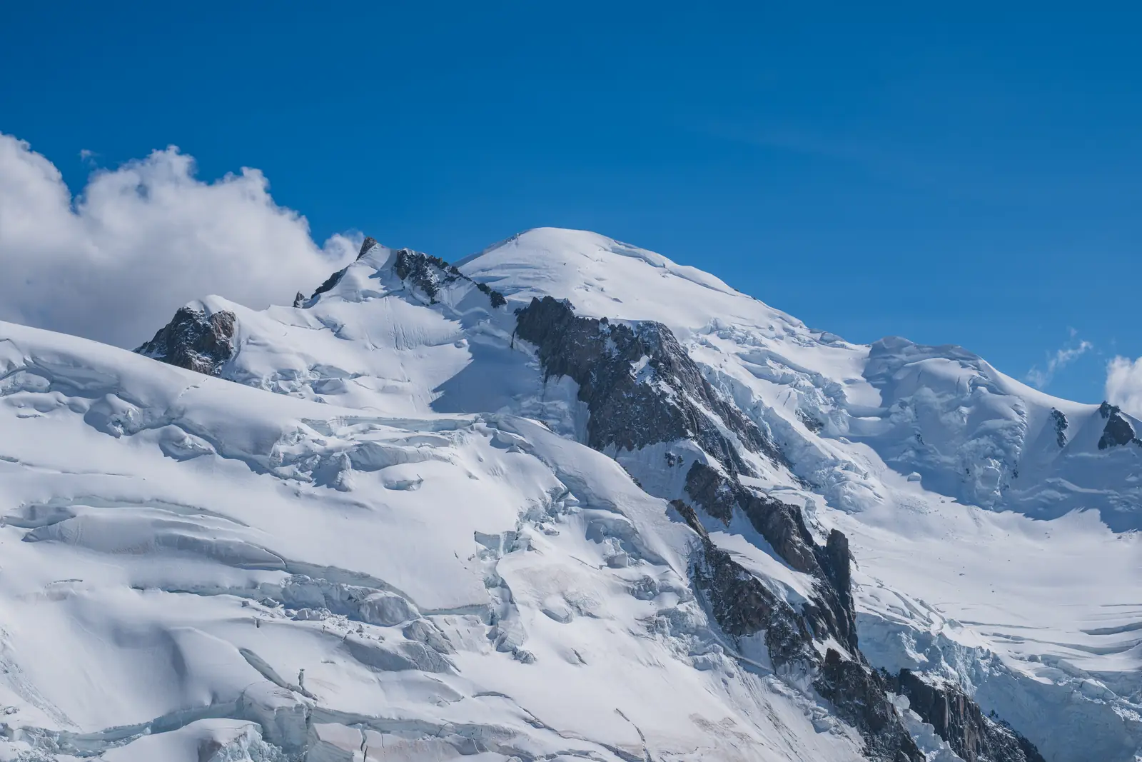
Mont Blanc, 4,806 m
Sheet 04 of 11Stage 2027
- Range:
- Mont Blanc massif
- Coordinates:
- 45.8328° N, 6.8650° E
Vallot4,362 mGoûter hutNight, 3,835 mTête RousseNight, 3,167 mNid d’AigleTram, 2,412 mMont Blanc4806
012km
Mont Maudit and Mont Blanc from the Aiguille du Midi, August 2026. The dotted line is the normal route, schematic; huts and lifts are placed by hand.
The climb, to scale
-
Mont Blanc
-
Vallot
-
Goûter hut
-
Tête Rousse
-
Nid d’Aigle
How hard
- The route’s grade
- High snow ridge
- For me
- High alpine
- Mountain days
- 3
- After 2 acclimatisation days
- Biggest day
- +1,640 m
- 6.5–7.5 h up, 2–2.5 h down
- Season
- Jun–Sep
- Endurance
- Altitude
- Technical
- Exposure
After the skills course and a first 4,000er. The summit day is Olympus day 1 plus 300 m, started in the dark at 3,167 m and finished at 4,806 m, so altitude and pacing are the test, not climbing. Easier after Gran Paradiso or Breithorn.
- Poles
- Alpine boots
- Crampons
- Ice axe
- Harness & rope
- Helmet
Why it is in the plan
From the roadmap: 2027, alpine foundation.
- First major high-alpine objective.
- A long summit day.
- Acclimatisation above 4,000 m.
- Glacier travel and sustained movement in alpine conditions.
- Test physical endurance at altitude.
What it adds
- Technical ability
- Altitude experience
- Expedition experience
- Endurance
- Mountain judgment
- Risk management
Map data © OpenStreetMap contributors, SRTM. Contours © OpenTopoMap, CC BY-SA. Aerial © Esri.