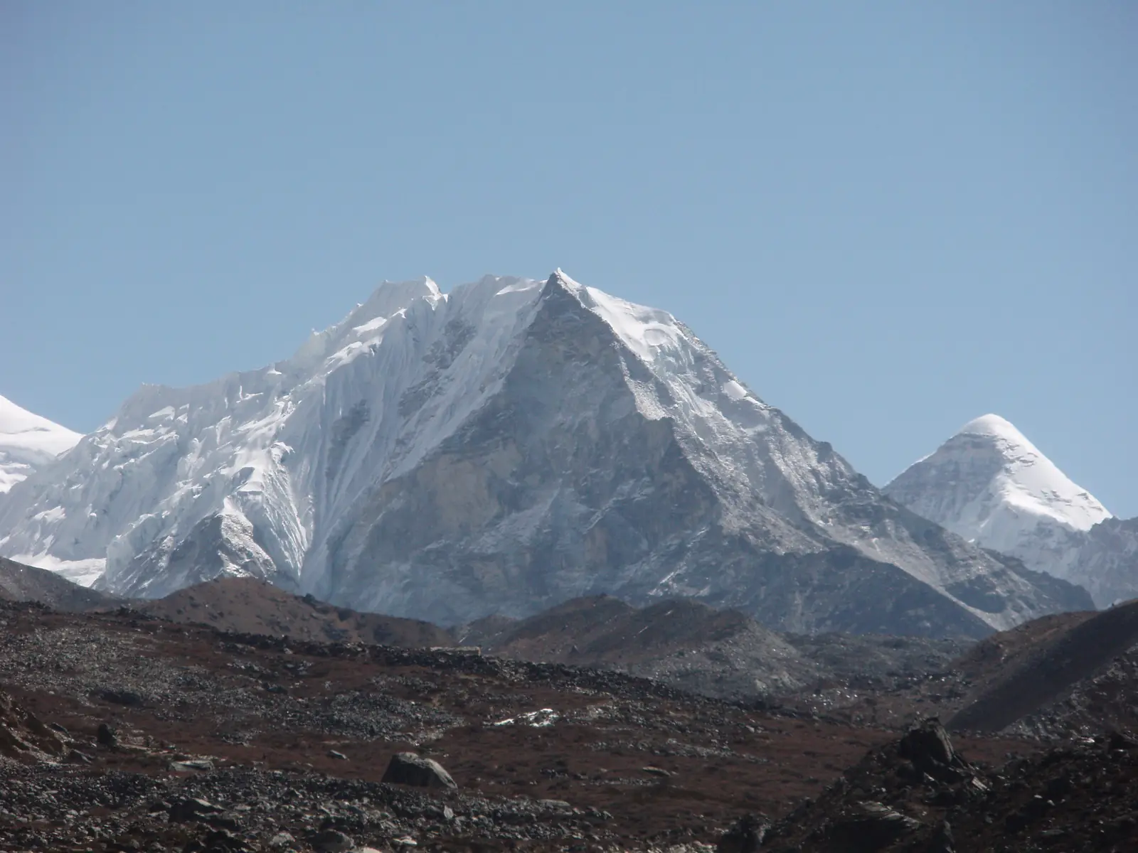
Island Peak, 6,189 m
Sheet 08 of 11Stage 2028
- Range:
- Mahalangur Himal
- Coordinates:
- 27.9208° N, 86.9352° E
High campOptional high camp, 5,600 mBase campNight, 5,087 mChhukungVillage, 4,730 mIsland Peak6189
012km
Island Peak, also called Imja Tse, in April. The dotted line is the normal route, schematic; camps move from year to year and are placed approximately.
The climb, to scale
-
Island Peak
-
High camp
-
Base camp
-
Chhukung
How hard
- The route’s grade
- Fixed-rope headwall
- For me
- High altitude
- Mountain days
- 2–3
- Inside a 19–25 day trip
- Biggest day
- +1,100 m
- 6–8 h up, 3–4 h down
- Season
- Apr–May,Oct–Nov
- Endurance
- Altitude
- Technical
- Exposure
After Mera. The summit day is Olympus day 1 in size, all above 5,000 m, and ends with a jumar headwall and an abseil, so rope work has to be automatic first. Easier after Mera Peak.
- High-altitude boots
- Crampons
- Ice axe
- Harness & rope
- Helmet
- Ascender
- Tent
Why it is in the plan
From the roadmap: 2028, first 6,000 m. Milestone: Understand how the body performs between 5,500 and 6,500 m.
- Fixed ropes.
- Jumar use.
- Rappelling.
- Steeper snow and ice.
- Technical movement at altitude.
- Preparation for Himalayan expedition systems.
What it adds
- Technical ability
- Altitude experience
- Expedition experience
- Endurance
- Mountain judgment
- Risk management
Map data © OpenStreetMap contributors, SRTM. Contours © OpenTopoMap, CC BY-SA. Aerial © Esri.