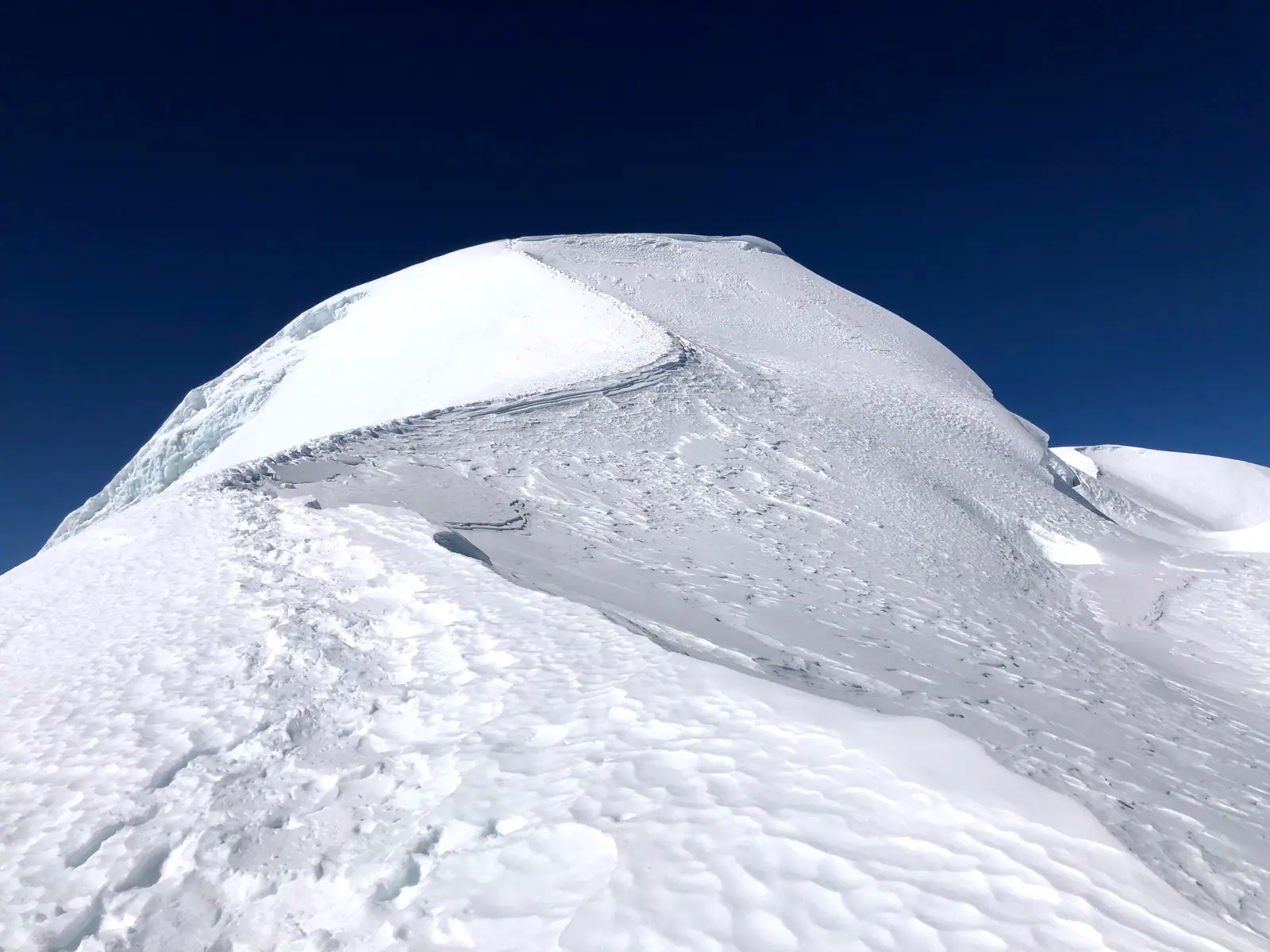
Mera Peak, 6,476 m
Sheet 06 of 11Stage 2028
- Range:
- Mahalangur Himal
- Coordinates:
- 27.7092° N, 86.8683° E
Mera Central6,461 mHigh campNight, 5,800 mMera La5,400 mBase campNight, 5,300 mKhareVillage, 4,900 mMera Peak6476
00.51km
The final snow dome from the upper glacier, in November. The dotted line is the normal route, schematic; camps move from year to year and are placed approximately.
The climb, to scale
-
Mera Peak
-
Mera Central
-
High camp
-
Mera La
-
Base camp
-
Khare
How hard
- The route’s grade
- Glacier, short jumar
- For me
- High altitude
- Mountain days
- 3–5
- Inside a 20–24 day trip
- Biggest day
- +680 m
- 3–6 h up
- Season
- Apr–May,Oct–Nov
- Endurance
- Altitude
- Technical
- Exposure
After the 2027 Alpine season. The snow skills will be there; the unknown is how I sleep and eat above 5,000 m and cope with a 10–14 hour summit day at 6,000 m. Easier after Mont Blanc.
- High-altitude boots
- Crampons
- Ice axe
- Harness & rope
- Ascender
- Tent
Why it is in the plan
From the roadmap: 2028, first 6,000 m. Milestone: Understand how the body performs between 5,500 and 6,500 m.
- First experience above 6,000 m.
- Test my own altitude response.
- Learn expedition pacing.
- Spend extended time between 5,000 and 6,500 m.
- Build experience with multi-day acclimatisation.
What it adds
- Technical ability
- Altitude experience
- Expedition experience
- Endurance
- Mountain judgment
- Risk management
Map data © OpenStreetMap contributors, SRTM. Contours © OpenTopoMap, CC BY-SA. Aerial © Esri.