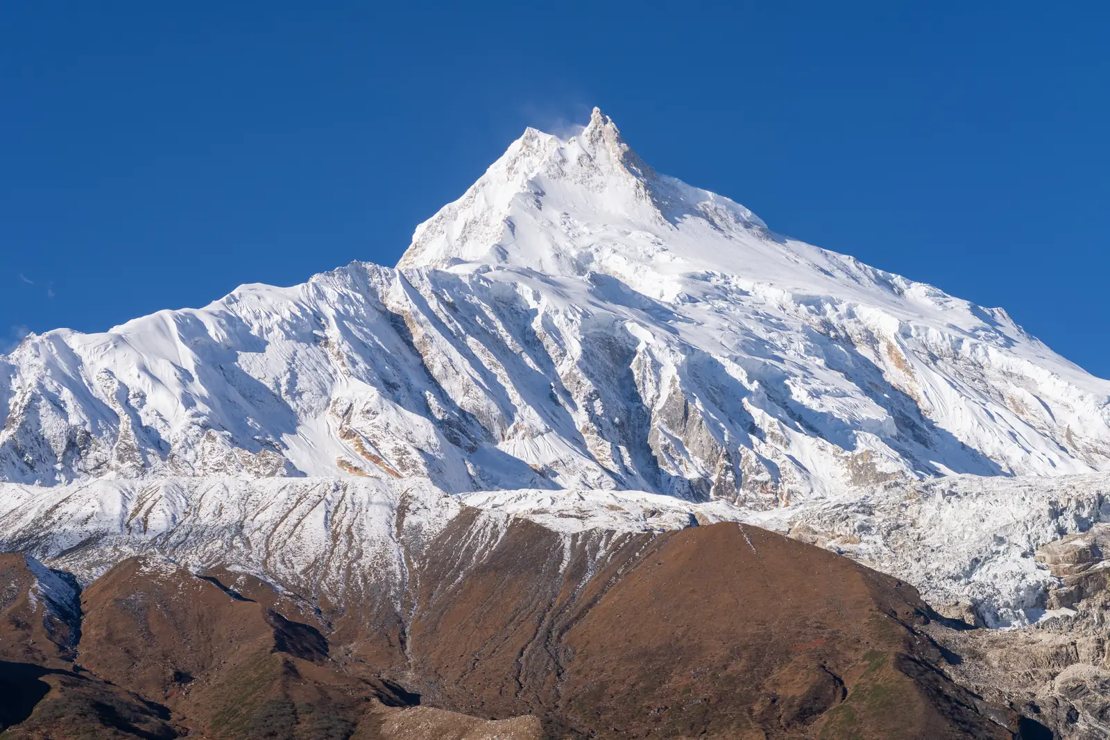
Manaslu, 8,163 m
Sheet 11 of 11Stage 2030
- Range:
- Mansiri Himal
- Coordinates:
- 28.5500° N, 84.5597° E
Camp 4Night, 7,400 mCamp 3Night, 6,800 mCamp 2Night, 6,400 mCamp 1Night, 5,700 mBase campNight, 4,800 mSamagaonVillage, 3,530 mManaslu8163
024km
From Samagaon, where the route starts, in October 2025. The dotted line is the normal route, schematic; camps move from year to year and are placed approximately.
The climb, to scale
-
Manaslu
-
Camp 4
-
Camp 3
-
Camp 2
-
Camp 1
-
Base camp
-
Samagaon
How hard
- The route’s grade
- Fixed-rope expedition
- For me
- Eight thousand
- Mountain days
- 20–26
- Inside a 33–43 day expedition
- Biggest day
- +763 m
- About 8 h up and back
- Season
- Sep–Oct
- Endurance
- Altitude
- Technical
- Exposure
Only after Himlung Himal or Baruntse. The climbing is not much harder than a 7,000 m peak, but it means a month above 4,800 m and a summit day that starts 4.7 km above my Olympus high point. Easier after Himlung Himal or Baruntse.
- High-altitude boots
- Crampons
- Ice axe
- Harness & rope
- Ascender
- Oxygen
- Tent
Why it is in the plan
From the roadmap: 2030, first 8,000 m. Milestone: The first 8,000-metre summit.
- The first 8,000-metre summit.
- By now the experience should stack up: 4,000 m alpine summits, glacier travel, rock and mixed climbing, fixed ropes and the jumar, crevasse rescue, 6,000 m and 7,000 m, several high camps, an acclimatisation strategy, expedition pacing, and decisions under fatigue and hypoxia.
What it adds
- Technical ability
- Altitude experience
- Expedition experience
- Endurance
- Mountain judgment
- Risk management
Map data © OpenStreetMap contributors, SRTM. Contours © OpenTopoMap, CC BY-SA. Aerial © Esri.