Baruntse, 7,129 m
Sheet 10 of 11Stage 2029
- Range:
- Mahalangur Himal
- Coordinates:
- 27.8716° N, 86.9802° E
Camp 2Barun plateau, 6,400 mCamp 1West Col, 6,135 mBase campUpper Hongu, 5,350 mBaruntse7129
012km
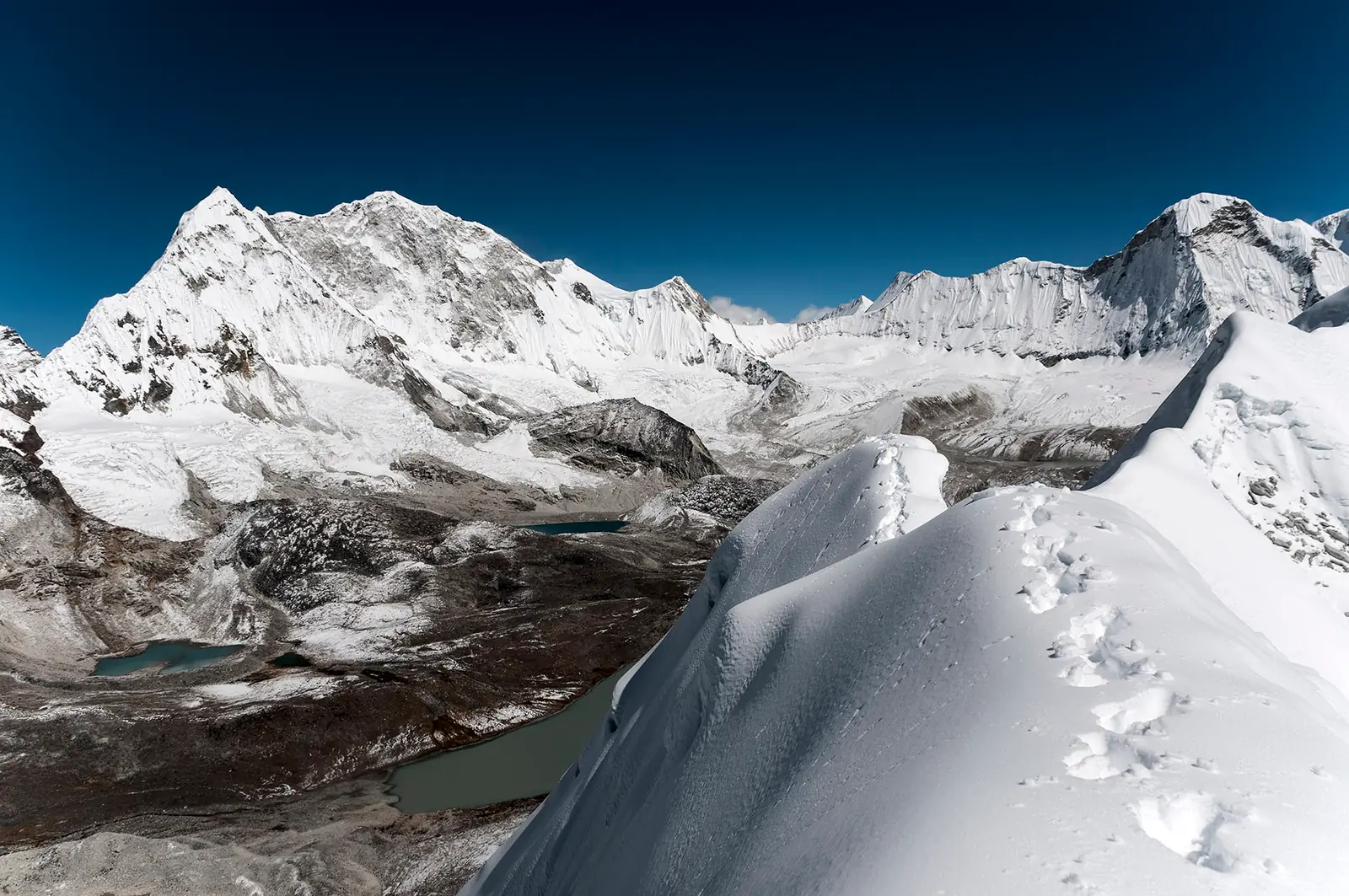
From the Amphu Labtsa in October, with the upper Hongu lakes below. The dotted line is the normal route, schematic; camps move from year to year and are placed approximately.
The climb, to scale
-
Baruntse
-
Camp 2
-
Camp 1
-
Base camp
How hard
- The route’s grade
- Exposed snow ridge
- For me
- Expedition
- Mountain days
- 9–12
- Inside a 32–35 day expedition
- Biggest day
- +730 m
- 7–10 h up
- Season
- Oct–Nov
- Endurance
- Altitude
- Technical
- Exposure
Only after Himlung-class altitude and a season of steeper ice and ridges. Since 2015 about one member in five above base camp has summited. Easier after Mera Peak or Lobuche East.
- High-altitude boots
- Crampons
- Ice axe
- Harness & rope
- Ascender
- Helmet
- Tent
Why it is in the plan
From the roadmap: 2029, first 7,000 m. Milestone: Prove readiness for an 8,000 m expedition.
- A more technical alternative to Himlung Himal.
- Fixed ropes and glacier travel.
- Steeper ice.
- An exposed summit ridge.
- More demanding technical movement above 6,500 m.
What it adds
- Technical ability
- Altitude experience
- Expedition experience
- Endurance
- Mountain judgment
- Risk management
Map data © OpenStreetMap contributors, SRTM. Contours © OpenTopoMap, CC BY-SA. Aerial © Esri.