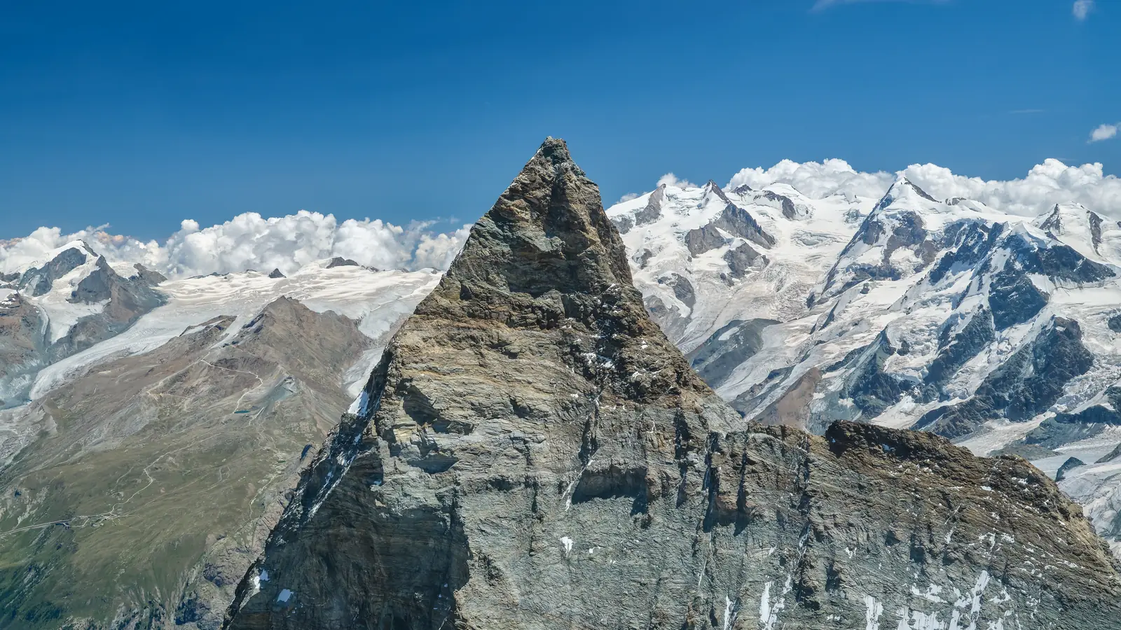
Matterhorn, 4,478 m
Sheet 05 of 11Stage 2027
- Range:
- Pennine Alps
- Coordinates:
- 45.9764° N, 7.6586° E
Solvay4,003 mHörnlihütteNight, 3,260 mSchwarzseeLift, 2,583 mZermattVillage, 1,608 mMatterhorn4478
012km
From the air, July 2022. The dotted line is the normal route, schematic; huts and lifts are placed by hand.
The climb, to scale
-
Matterhorn
-
Solvay
-
Hörnlihütte
-
Schwarzsee
-
Zermatt
How hard
- The route’s grade
- Long rock ridge
- For me
- Technical alpine
- Mountain days
- 2
- After preparation tours
- Biggest day
- +1,220 m
- 4–5 h up, 4–5 h down
- Season
- Jul–Sep
- Endurance
- Altitude
- Technical
- Exposure
Only after Mont Blanc and a summer of rock and mixed training. The legs can manage 1,220 m, but the guides want grade III climbing, crampons on rock and a brisk pace at 4,000 m, and Mont Blanc does not count as proof. Easier after Mont Blanc.
- Poles
- Alpine boots
- Crampons
- Ice axe
- Harness & rope
- Helmet
Why it is in the plan
From the roadmap: 2027, alpine foundation.
- Develop technical climbing ability.
- Improve movement on exposed terrain.
- Build speed and efficiency on rock and mixed terrain.
- Learn to keep concentration for many hours.
- Become a stronger all-round alpinist, not only a high-altitude climber.
What it adds
- Technical ability
- Altitude experience
- Expedition experience
- Endurance
- Mountain judgment
- Risk management
Map data © OpenStreetMap contributors, SRTM. Contours © OpenTopoMap, CC BY-SA. Aerial © Esri.